Port-Led Industrial and Export Infrastructure in Navi Mumbai: JNPA, NMIA and Belt Logic
Navi Mumbai’s port-led industrial and export advantage is strongest in the JNPA–Nhava Sheva–Dronagiri–Uran–Jasai–Panvel-side corridor, not across the whole city. This is where container handling, rail evacuation, highway access, customs-linked logistics, JNPA SEZ, and the emerging NMIA cargo layer begin to work together. That combination creates real export utility. Other industrial belts like Taloja and Kalamboli can still matter, but more as support belts than direct export-frontline locations.
Many articles make this topic sound broader than it really is. They say Navi Mumbai benefits from the port, which is true in a very general sense, but that is not enough for a buyer, lessee, exporter or investor. The real question is much more practical: which locations are genuinely tied to export infrastructure, which ones are just nearby on a map, and what kind of business actually needs to pay for this corridor.
That is where local belt logic matters. A site’s value here does not come from its pin code alone. It comes from whether the land, road movement, rail access, cargo handling logic, customs relevance, and authority framework actually suit export activity.
Quick Summary
| Question | Practical answer |
|---|---|
| Is all of Navi Mumbai a port-led industrial market? | No. The real export-led geography is concentrated around JNPA, Nhava Sheva, Dronagiri, Uran-side logistics land, Jasai rail access and Panvel-side connectors. |
| What makes a location truly export-capable? | Port proximity alone is not enough. The site must also work for containers, truck movement, staging, legal use, and evacuation. |
| Which belts are direct export belts? | JNPA-side, Nhava Sheva-side, Dronagiri and the strongest Uran-side logistics pockets. |
| Which belts are connector belts? | Jasai, Chirle and Panvel-side access belts that support movement between port, rail and highways. |
| Which belts are support belts? | Taloja, Kalamboli and inland industrial locations that support manufacturing or secondary logistics more than direct export handling. |
| Who benefits most? | Export-heavy businesses, 3PL operators, customs-sensitive users, container-linked operators and some specialised manufacturers. |
| Biggest buyer mistake | Buying “near port” land that is not actually usable for export operations. |
What does “port-led industrial and export infrastructure” actually mean in Navi Mumbai?
In Navi Mumbai, port-led infrastructure does not simply mean industrial growth happening near the sea. It means a working cargo ecosystem where port operations, heavy vehicle movement, rail evacuation, customs-linked storage, industrial zoning, and now airport cargo relevance all connect in a usable way.
That distinction matters because many people confuse general industrial appreciation with export utility. A plot can be close to JNPA and still be weak for export operations if trailers cannot move properly, staging is poor, permissions are unclear, or the route is not built for actual container traffic. Another location can be slightly farther away and still perform better because it sits on the right connector and handles heavy logistics better.
This is the simplest way to understand the market: port-led value here comes from stacked infrastructure, not from coastal storytelling.
Why this story is really about the JNPA–Uran–Dronagiri–Panvel-side corridor, not all of Navi Mumbai
The export story in Navi Mumbai is geographically selective. JNPA anchors the corridor from the maritime side. Dronagiri and nearby Uran-side logistics land sit close to customs-linked and port-facing activity. Jasai matters because it links the port ecosystem to the rail network. Chirle and Panvel-side connectors matter because they help connect port-side activity to the wider hinterland.
This is why the topic should not be stretched across the whole city. Vashi, Airoli, Mahape, Kopar Khairane and similar areas may be important for offices, IT, services or domestic business activity, but they are not part of the real direct export corridor. Their economic importance is different.
The strongest practical reading of this market is a triangle or arc: JNPA and Nhava Sheva on one side, Dronagiri and Uran-side logistics land on the other, and Jasai–Chirle–Panvel-side connectors linking the corridor inland. Once that geography is clear, the rest of the decision-making becomes much easier.
Which infrastructure layers actually make this corridor export-capable?
The corridor becomes powerful only when multiple infrastructure layers work together. On their own, each one is useful. Together, they create the real export advantage.
JNPA and the Nhava Sheva container ecosystem
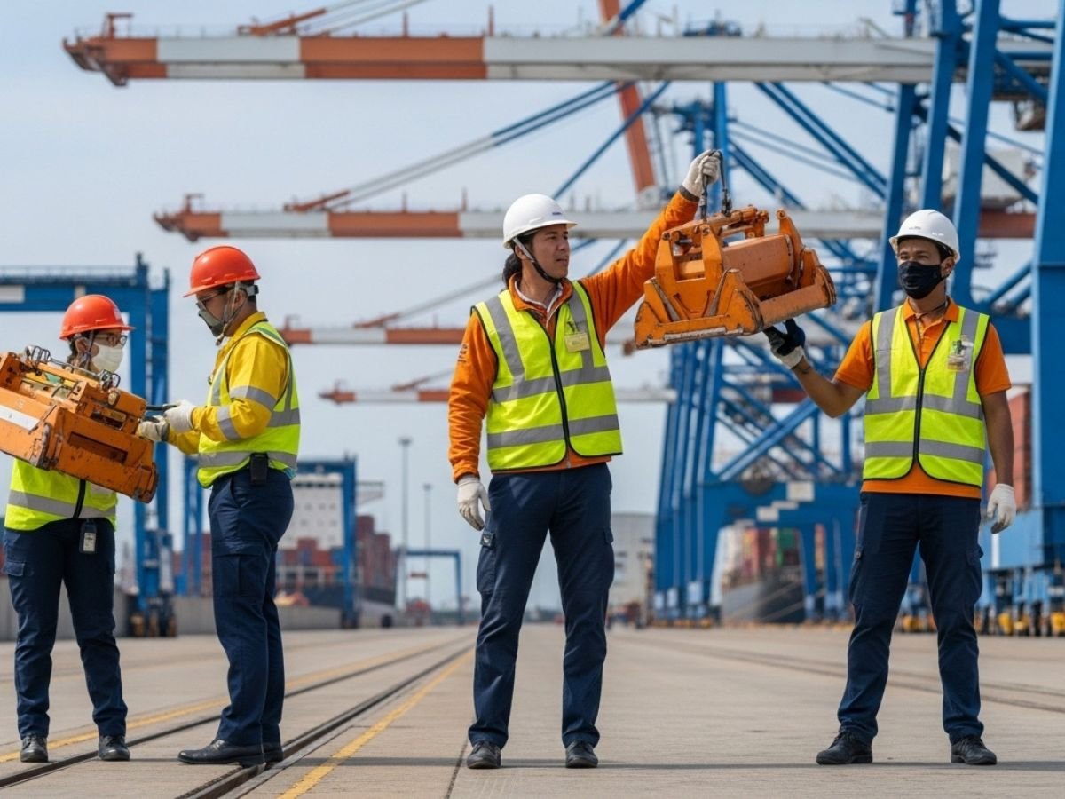
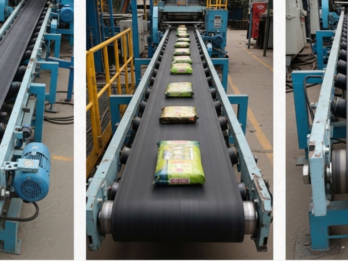
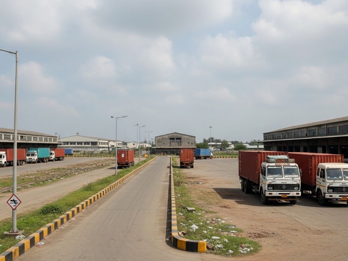
JNPA is the base layer. It is the reason this corridor exists at all. The port has become one of the biggest container-handling anchors in India, and its scale drives demand for inland evacuation, storage, consolidation and industrial activity around it.
The practical meaning of this is simple. A large, active, efficient port creates steady demand not only for shipping but also for container yards, CFS activity, bonded movement, customs-linked warehousing and port-adjacent industrial operations. When port throughput grows, the surrounding logistics ecosystem has to grow with it.
That is why the JNPA-facing side of Navi Mumbai has a completely different industrial logic from a normal inland industrial belt.
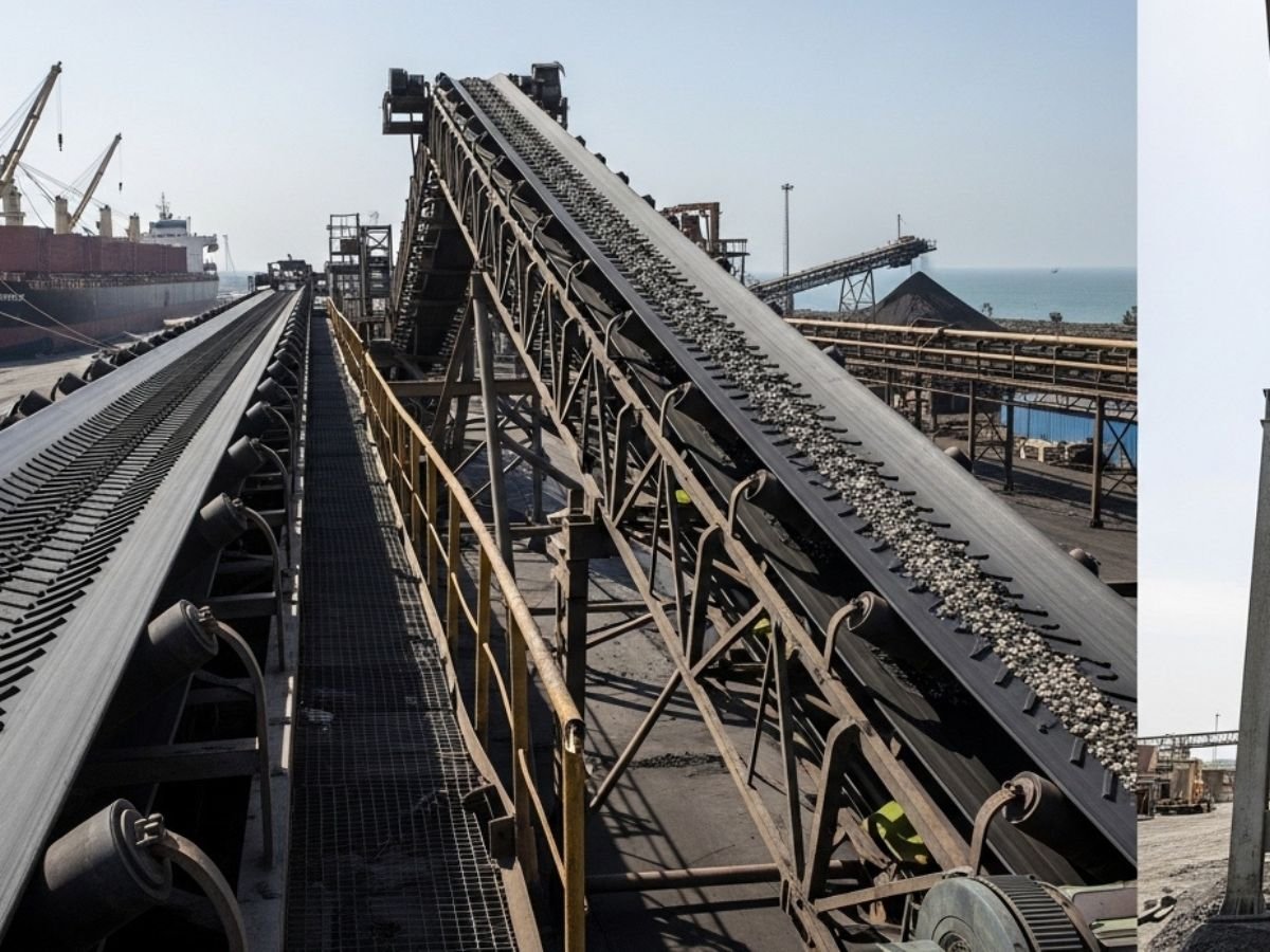
Rail access through Jasai and why rail matters differently by cargo type
Rail is one of the most important but most poorly explained parts of this corridor. Jasai serves as a crucial rail-side buffer between JNPA and the wider freight network. Its holding yard role matters because not all cargo should depend on roads all the time.
This became even more important after the final JNPT–Vaitarna stretch of the Western Dedicated Freight Corridor became operational on 31 March 2026. That changed rail relevance from a future talking point into a present operational factor. For heavy, repetitive, containerised cargo moving toward inland markets, rail now has a stronger practical role than before.
But rail does not help all users equally. It matters more for large, steady flows than for highly fragmented local dispatch. So when a brochure says “rail-connected,” the real question is not whether rail exists somewhere nearby. The real question is whether the cargo profile actually benefits from that rail layer.
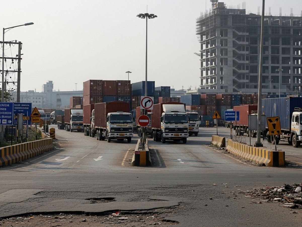
NH348, NH348A, Sion-Panvel side access, and Atal Setu
Road connectivity still matters because every export corridor depends on first-mile and last-mile movement. NH348 and NH348A are important because they help connect port-linked land to the wider road network.
Panvel-side connectivity also matters because it helps link the export corridor to inland industrial and consumption zones. That is one reason Panvel-side connectors show up again and again in serious logistics discussions.
Atal Setu adds another layer, but it needs to be understood correctly. It is a major regional connector and improves broader accessibility. However, it should not be misunderstood as a universal heavy-freight solution. This is one of the most common content mistakes on this topic. Its value is real, but its freight role is not the same as a dedicated heavy logistics corridor.
JNPA SEZ and why it changes the export discussion
JNPA SEZ changes the conversation because it is not just another patch of industrial land. It represents a more structured export-oriented environment where manufacturing, warehousing and logistics can sit closer to port-side utility.
For the right kind of business, that matters a lot. An export-oriented manufacturer can see clear operational value in reduced drayage friction, easier port-linked movement and a more integrated ecosystem. For the wrong kind of user, however, the SEZ story can be too specific and overly restrictive.
That is why JNPA SEZ should be treated as a strategic export-oriented format, not as a generic upgrade for every industrial buyer.
NMIA cargo and the emerging sea-air angle
NMIA adds the newest layer to this corridor. Phase 1 cargo infrastructure, specialised handling capability, and the start of freighter-linked operations make the sea-air discussion more real than before.
This does not mean every ordinary warehouse near the airport becomes premium export real estate overnight. It means the JNPA–Dronagiri–NMIA stack now has stronger relevance for high-value and time-sensitive cargo. Pharma, perishables, precision electronics and similar sectors may begin to see this corridor differently from bulk or purely domestic users.
That is the right way to frame NMIA. It is a selective game-changer, not a blanket value booster.
Which Navi Mumbai belts are direct export belts, connector belts, and support belts?
A clear belt classification is one of the most useful ways to understand this topic.
Direct port-facing or export belts
The direct belts are the ones with the strongest operational relationship to the port and export chain. This includes JNPA-side land, Nhava Sheva-side logistics activity, Dronagiri and the most relevant Uran-side logistics pockets.
These areas are the most suitable for customs-sensitive warehousing, container handling, CFS-linked activity, FTWZ-type logic, and export-heavy operators who need to stay close to the frontline cargo ecosystem.
Connector belts with movement advantage
Connector belts are not always the place with the most visible port branding, but they matter deeply because they support movement. Jasai matters because of rail usefulness. Chirle matters because of network integration. Panvel-side connectors matter because they help inland linkages work.
These belts can be ideal for operators whose business depends on transit logic more than pure port-gate adjacency. In many cases, they are more useful than flashy “near port” claims.
Support belts better suited to secondary industrial use
Taloja and Kalamboli matter, but they should not be oversold as direct export belts. Taloja is more naturally a heavy industrial and manufacturing support belt. Kalamboli is more useful for distribution, heavy goods movement and secondary industrial functions.
These belts can absolutely feed the port ecosystem. But they do not offer the same direct export utility as Dronagiri, Nhava Sheva-side logistics land or the strongest connector locations. That difference matters because paying direct-corridor prices for support-belt use can distort the whole business case.
Which business types gain the most from this corridor and which do not?
Not every business should chase this corridor. The premium only makes sense for the right operational profile.
Export-heavy, container-linked, and customs-sensitive users
These are the strongest-fit users. If the business depends on regular international shipping, frequent container movement, customs-linked operations, duty deferment structures or fast port access, the corridor can justify its higher cost.
3PL, warehousing, and consolidation users
Third-party logistics operators benefit strongly when asset utilisation depends on faster movement, better consolidation and less drayage friction. For such users, location quality inside the corridor can directly improve operating efficiency.
Manufacturers who genuinely need this stack
Some manufacturers benefit clearly, especially those dealing with export-oriented production, temperature-sensitive goods, pharma-linked supply chains, or precision products that may use both sea and air. For these businesses, the sea-road-rail-air stack is not just branding. It can change real lead times and handling logic.
Businesses that are better off elsewhere
A domestic FMCG stock point serving local markets does not need to pay Dronagiri-side logic. A general e-commerce shed focused on city consumption does not need port-gate exposure. A heavy manufacturer without strong export dependency may do better in a support belt like Taloja.
This is where many decisions go wrong. Users often buy into the biggest infrastructure story in the region instead of asking whether their own business model actually needs it.
How to check whether a site is truly export-linked or just being sold with port buzzwords
This is the most practical part of the topic. A site should not be called export-ready just because it sounds strategically located.
Export-Readiness Checklist
- Can a loaded multi-axle trailer enter, wait, turn and exit smoothly within the property?
- Does the actual truck route support container movement properly, or does it depend on weak village roads or local bottlenecks?
- Is the land legally usable for the intended industrial, warehousing or logistics activity?
- If rail is being marketed, is there real operational relevance or just a distant station reference?
- Can the facility hold or stage vehicles internally when dispatch timing gets disturbed?
- Does the operation genuinely require customs-linked proximity, or is that just marketing language?
- Are there CRZ, mangrove, buffer or other environmental constraints that can limit development?
- Is the site strong because of actual connector logic, or only because of map distance?
A very common mistake looks like this: a buyer sees land only a few kilometres from JNPA and assumes it will automatically suit export logistics. Later, the buyer discovers weak approach roads, no proper truck movement, legal use complications, or route dependence that kills turnaround time. That land is near the port but not really part of the export system.
What land, shed, warehouse, SEZ plot, and industrial park formats mean in this corridor
Different asset formats suit different business strategies. This matters because many users search for “industrial property near JNPA” without first deciding what kind of asset they actually need.
A raw industrial plot suits long-term users who want build-to-suit flexibility and can handle approvals, time and capital expenditure. It is not ideal for quick deployment.
A ready warehouse or logistics park suits businesses that need immediate operational use, proper truck circulation, internal parking and less setup friction. In the current corridor environment, modern logistics stock often has an edge because bad operational design is punished much faster than before.
A shed can work for lighter industrial or semi-logistics use, but not all sheds are suitable for export-heavy handling.
A JNPA SEZ plot is a more specialised instrument. It suits a user whose business genuinely matches export-oriented logic. It should not be treated as a universal solution.
Which authority, title, and compliance checks matter before buying or leasing here?
This region is not a freehold-style market where a user can ignore authority structure. That is one of the biggest practical realities of Navi Mumbai.
JNPA-side and SEZ-side context
JNPA-side and SEZ-side land must be understood through the correct export and authority framework. The rules, permissions and business fit here are not the same as in a normal industrial pocket. A user must understand whether the location is meant for export-oriented activity, what compliance standards apply, and whether the business model actually fits that structure.
CIDCO-side and Panvel/Uran planning context
A large part of the corridor involves CIDCO-linked leasehold logic. This means buyers and lessees must understand transfer mechanics, leasehold rights, assignment structure and applicable charges. It is not enough to look only at physical land and price.
This is especially important in Dronagiri, Ulwe-side influence zones and parts of the Uran–Panvel planning context. A site can look attractive physically and still carry legal or transfer-side friction that changes the real transaction cost.
MIDC-side context for support belts
In support belts like Taloja, MIDC logic matters more than port-front customs logic. The user must check whether the industrial use matches the belt’s approved structure and whether the plot’s intended activity is aligned with that framework.
The main lesson here is simple: in this corridor, location quality and title clarity must be read together. One without the other is not enough.
What risks people underestimate in port-led industrial belts around Navi Mumbai
The strongest infrastructure story in a region often creates the biggest overconfidence. This corridor is no exception.
The first underestimated risk is the proximity illusion. Near JNPA does not automatically mean export-ready.
The second is road dependence. If a facility depends too heavily on perfect road movement, even small disruptions can damage turnaround. This became more serious after the February 2026 heavy vehicle restrictions that removed large daylight windows for road-dependent movement.
The third is internal staging weakness. Older or badly planned facilities that cannot absorb trucks within their own boundaries become operationally fragile when traffic rules tighten.
The fourth is environmental and coastal restriction risk. In some coastal locations, development assumptions can be badly distorted if mangrove or CRZ realities are ignored.
The fifth is airport hype without cargo logic. NMIA is important, but it mainly strengthens specialised cargo, sea-air and higher-value logistics use cases. A generic warehouse shed does not become a premium cargo asset just because it is inside the airport story.
How NMIA could reshape the next phase of export and logistics demand
NMIA has the potential to reshape the corridor in a meaningful way, but selectively. Its biggest effect will likely be on specialised cargo and time-sensitive supply chains rather than ordinary bulk warehousing.
The strongest beneficiaries are likely to be operators who can genuinely use the sea-air stack. That includes pharma, perishables, precision electronics, specialised consolidation and certain bonded cargo flows. For such users, the Dronagiri–Ulwe–JNPA-side arc becomes much more interesting.
But this future should still be read with discipline. The right view is not “everything near NMIA will rise because airport.” The right view is “some parts of the existing export corridor may gain additional value because sea-air logistics is becoming more realistic.”
That is a much stronger and more trustworthy way to explain the opportunity.
Who should choose this corridor, who should use a support belt, and who should stay elsewhere
Choose the direct corridor if the business is fundamentally tied to export movement, container handling, customs-linked operations, FTWZ-type utility, or a serious sea-air use case.
Choose a connector belt if movement integration matters more than pure port-gate frontage. These locations can be highly effective for operators who need rail relevance, bonded movement or inland linkage.
Choose a support belt like Taloja or Kalamboli if the business is manufacturing-led, feeder-oriented, or more cost-sensitive than port-front dependent.
Stay outside the premium corridor if the operation is largely domestic, consumption-driven or road-distribution-heavy without meaningful export dependence.
This is the cleanest decision rule in the whole article: do not pay direct export corridor costs for a support-belt business, and do not expect support-belt land to perform like a frontline export location.
Conclusion
Port-led industrial and export infrastructure in Navi Mumbai is a real and powerful story, but only when read through the correct corridor. The strongest export logic sits around JNPA, Nhava Sheva, Dronagiri, Uran-side logistics land, Jasai rail usefulness and Panvel-side connectors, with NMIA now adding a more serious sea-air layer. The biggest mistake is treating all industrial land near the port as equal. In this market, real value comes from stacked infrastructure, correct authority fit, usable movement logic and genuine business need. That is what separates a true export corridor location from a location that only sounds strategic.
FAQs
Frequently Asked Questions